
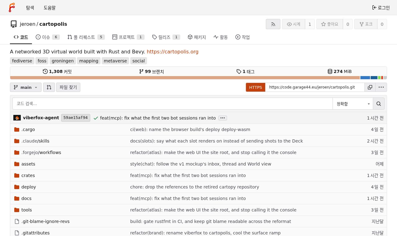
 SITE CAPTURE
Based on information published on the service's website. Selection and review policy
WHAT IT DOES
What does it do?
Cartopolis uses public data to show real-world places as a walkable 3D space. Users can check details such as construction year and use on building cards and find walking, cycling, and driving routes. They can also chat or talk by voice with nearby people and place objects and 3D models at locations.
KEY FEATURES
Key features
- Explore a 3D map of the real world built from public data
- View information such as construction year, use, and area for each building
- Explore walking, cycling, and driving routes
- Distance-based chat and proximity voice conversations
- Place objects and 3D models, and import or export content