
Low Poly Earth
A Mac app for exploring a 3D Earth built from public map and elevation data.
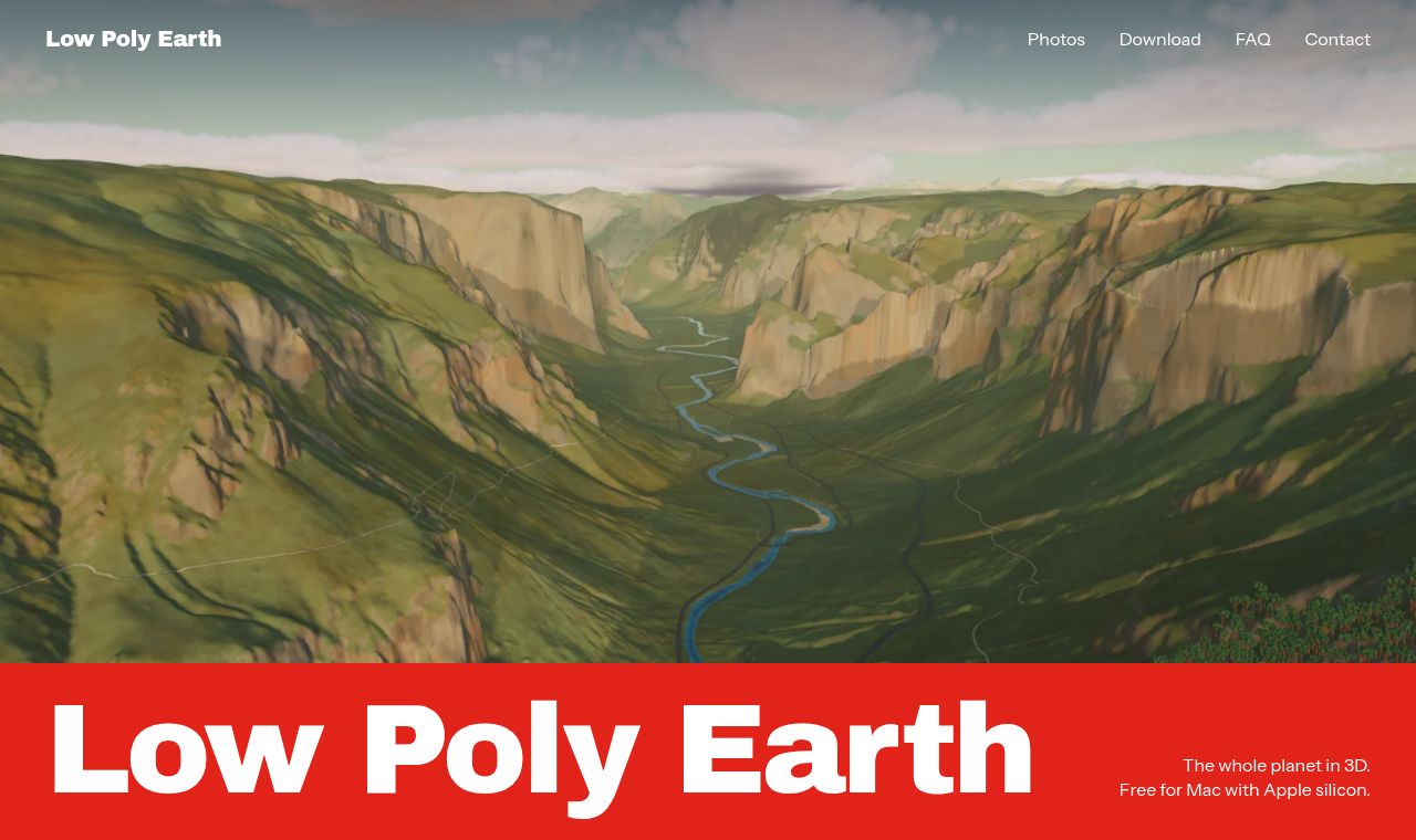 SITE CAPTURE
Based on information published on the service's website. Selection and review policy
WHAT IT DOES
What does it do?
Low Poly Earth displays a 3D world using global elevation data and OpenStreetMap data for buildings, roads, and bodies of water. Users can search for a place by name or select it on a map, then explore in flight mode. Scenes with a chosen date, time, and weather can be saved as 4K PNG files.
KEY FEATURES
Key features
- Pans and zooms from a view in space down to street level.
- Finds places by name or on a world map and moves the camera there.
- Explores terrain using 3 types of aircraft.
- Changes scenes by setting the date, time, and weather.
- Saves scenes as 4K PNG files with camera, location, and time information.