
 SITE CAPTURE
Based on information published on the service's website. Selection and review policy
WHAT IT DOES
What does it do?
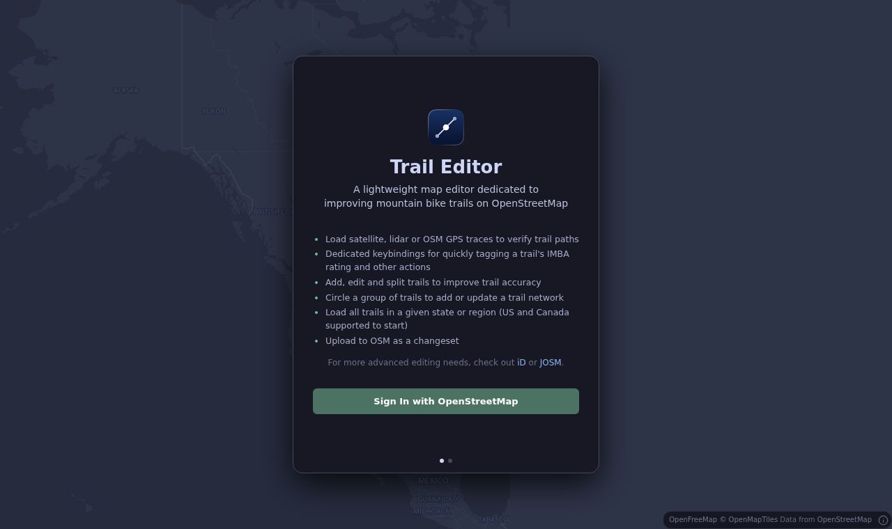
Users can select an area, load its trails, and add, modify, or split routes. Keyboard shortcuts make it possible to tag IMBA grades quickly, while selecting multiple trails allows users to add or update networks. Edits are uploaded as OpenStreetMap changesets.
KEY FEATURES
Key features
- Load trails by state or region in the United States and Canada
- Check routes against satellite imagery, lidar, and OSM GPS traces
- Add, modify, and split trails
- Tag IMBA grades with keyboard shortcuts
- Add or update trail networks and upload OSM changesets