
 SITE CAPTURE
Based on information published on the service's website. Selection and review policy
WHAT IT DOES
What does it do?
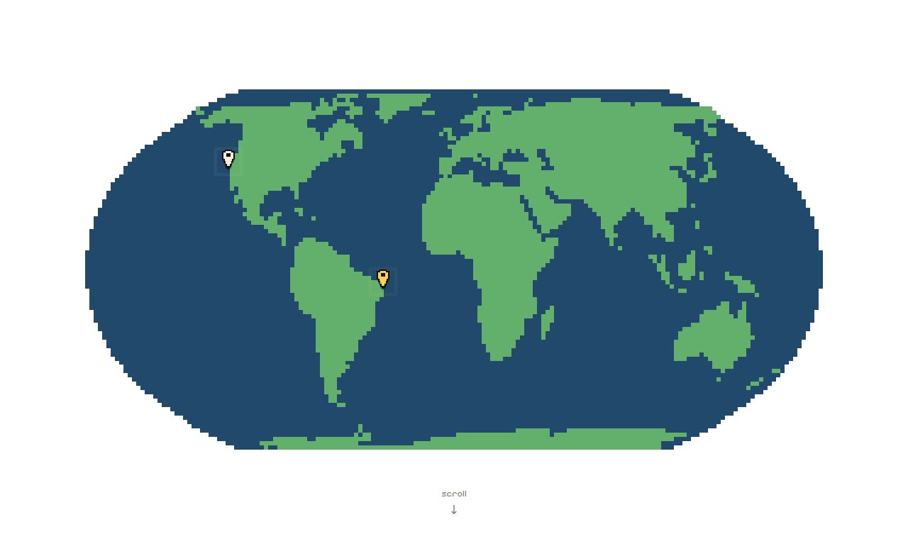
EarthToPixels combines an image model that converts aerial map tiles into isometric pixel art with an automated processing pipeline. Given coordinates, it renders and styles tiles, then builds an explorable deep-zoom pyramid. The only completed map so far is João Pessoa, Brazil, and the project is still in development.
KEY FEATURES
Key features
- Convert aerial map tiles into isometric pixel art
- Automatically render and style maps at specified coordinates
- Automatically stitch converted map tiles together
- Create a deep-zoom pyramid for pixel-level exploration
- Show completed maps as pins on a globe